On June 4th, we opened an app that allows you to easily search for information on 650 famous uphill courses nationwide, Gran Fondo information, World Cycling news, and supply point information. This time, we're sharing a first-half update.
I created a web-based free app so you can more easily search for the uphill course information that was previously organized as image files. I originally made it for personal use, but thought it would be good to share it with everyone.
* Existing image files
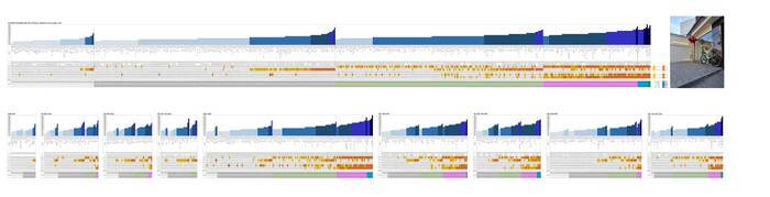
* Uphill Information Lookup App
Click the link below to log in directly to the APP. I created this for personal use, so the APP name is "Seorae Rider". ^^;
※When you first log in, enter your email address and then enter the PIN you receive. From the second login onwards, you will be automatically logged in through the bookmarked link. (You must use your personal email address.)
https://seoraerider.glide.page/
※ 6월24일자 업데이트된 내용
1) 기존 650개 업힐코스에서 아래와 같이 50개가 추가되어 총 700개 입니다.
혈동고개 - 강원춘천
원창고개 북측 - 강원춘천
청태산 서측 - 강원춘천
화절치 북측 - 강원영월
함백산 창옥봉 - 강원정선
장지고개 북측 - 강원원주
방하고개 북측 - 강원춘천
선미고개 - 강원춘천
왜무랑재 남측 - 경북영양
여주온천 업힐 - 경기동부
두밀고개 남측 - 경기남부
두밀고개 북측 - 경기남부
성곡령 북측 - 강원양구
화악산 북측 - 강원양구
실내고개 북측 - 강원화천
하오재 남측 - 강원철원
자등리고개 - 강원철원
소회산고개 동측 - 경기북부
대회산고개 북측 - 경기북부
밤고개 북측 - 경기북부
부처고개 옛길 - 경기북부
샘고개 - 경기북부
왕산령 - 경기북부
하우고개업힐 - 경기북부
아미고개 북측 - 경기북부
아미고개 남측 - 경기북부
두지리고개 북측 - 경기북부
두지리고개 남측 - 경기북부
장남로 서측업힐 - 경기북부
마지고개 서측 - 경기북부
마지고개 동측 - 경기북부
어룡고개 - 경기북부
곰시고개 북측 - 경기북부
삼박고개 - 경기북부
밖세우개 - 경기북부
스르레미고개 서측 - 경기북부
오현고개 - 경기북부
갈곡고개 동측 - 경기북부
금곡고개 남측 - 경기북부
금곡고개 북측 - 경기북부
삼현터널 서측 - 경기북부
삼현터널 동측 - 경기북부
게네미고개 동측 - 경기북부
송추CC 북측 - 경기북부
기산저수지 업힐 - 경기북부
장흥관광지 초입~말머리고개 정상 - 경기북부
목암고개 서측 - 경기북부
혜음령 남측 - 경기북부
혜음령 북측 - 경기북부
됫박고개 북측 - 경기북부
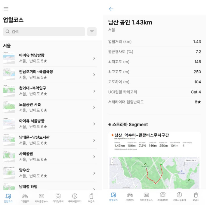
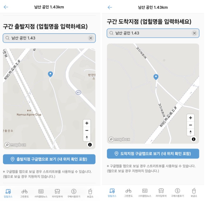
2) We've enabled searching for various conditions in each uphill course, and added a Strava segment map on the detail page of the uphill course. Additionally, we made it easy to check the segment starting point/ending point on Google Maps, and by also using Street View, we made it possible to confirm information more accurately.
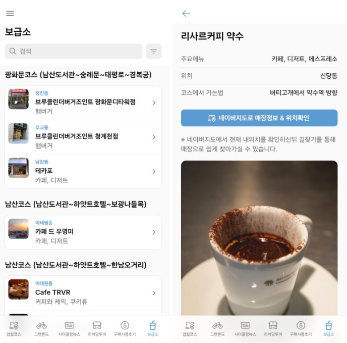
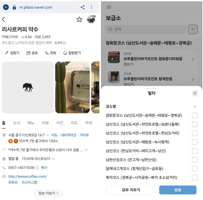
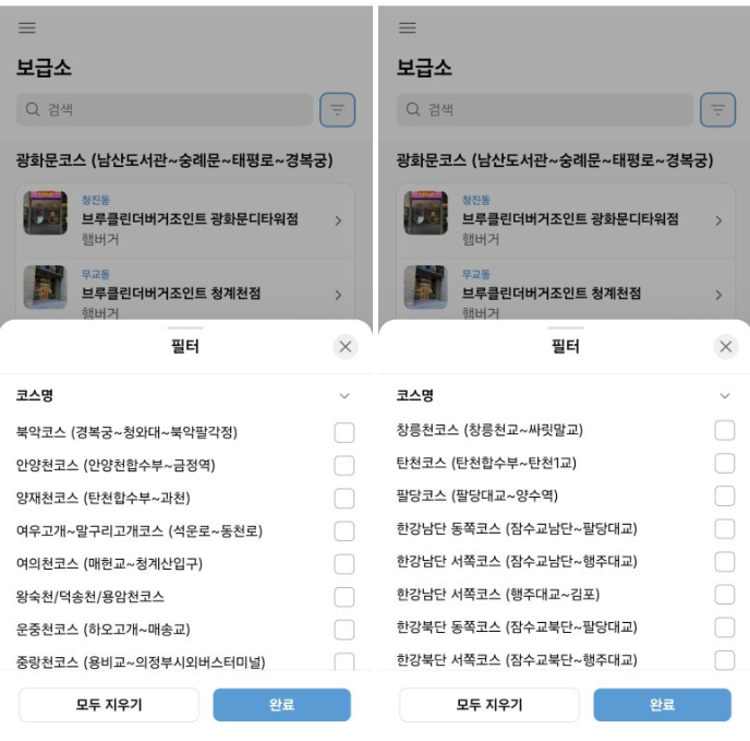
3) The newly added supply point information has organized 164 cafes, bakeries, and other shops across a total of 25 cycling courses in the Seoul-Gyeonggi area as of today. On the detail page of each selected store, we made it easy to check store information and location through Naver Maps.
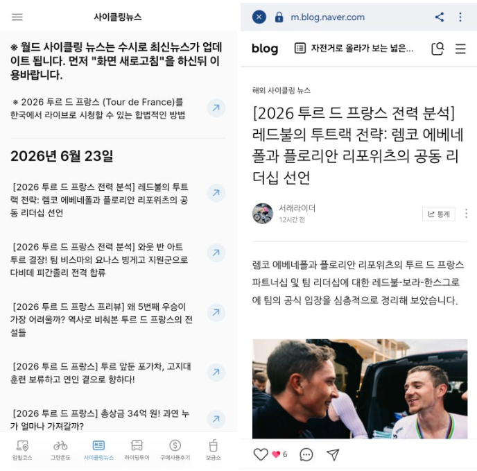
4) 사이클링뉴스에는 매일 다양한 월드 사이클링뉴스 소식들이 업데이트 되고 있습니다.
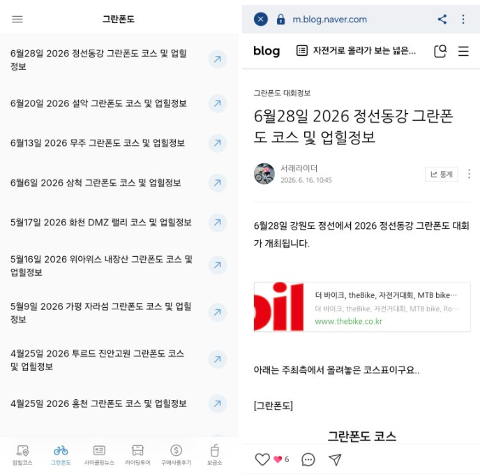
5) 그란폰도 코너에서는 그란폰도의 코스 및 업힐정보를 정리해놓았습니다.
This is being continuously updated, and while it was originally created for personal use and is now being shared, there may be some inconveniences in use, but I hope it has been of some help to you. ^^
Have a great day~~!